Cameron Lange · 2 September 2026
Embedded Sensors Reveal Moisture Patterns Across Woodland Boundary Zones
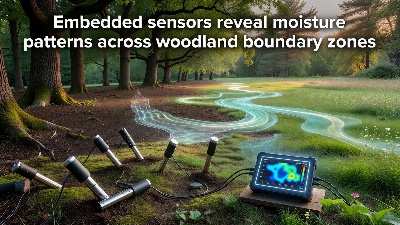
Embedded sensors now track soil moisture levels at fine scales throughout woodland boundary zones, and data collected across multiple sites shows distinct gradients that shift with seasonal rainfall and vegetation structure. Researchers deploy networks of wireless probes at depths ranging from 10 to 100 centimeters, recording volumetric water content every fifteen minutes and transmitting readings to central databases for analysis. Boundary zones, the transitional strips where closed canopy forest meets grassland or agricultural land, exhibit faster drying rates after precipitation events compared with interior forest plots, according to long-term monitoring programs.
Sensor Networks and Data Collection Methods
Technicians install probes along transects that cross the ecotone, placing units at five-meter intervals to capture lateral moisture movement. Each device measures temperature, electrical conductivity, and matric potential, allowing calculation of plant-available water and identification of perched water tables during wet periods. Calibration occurs against gravimetric samples taken at installation and again during annual maintenance visits, ensuring accuracy within three percent across soil types from sandy loams to clay-rich profiles.
Studies in temperate deciduous forests indicate that edge effects extend approximately twenty to thirty meters into the canopy, where solar radiation and wind increase evapotranspiration and reduce soil moisture retention. Data from continuous logging reveals that these zones lose up to forty percent more water through surface evaporation during summer months than shaded interior locations. Automated systems flag anomalies such as sudden drops linked to root uptake or lateral drainage, and alerts reach field teams within hours.
Observed Patterns in Boundary Zones
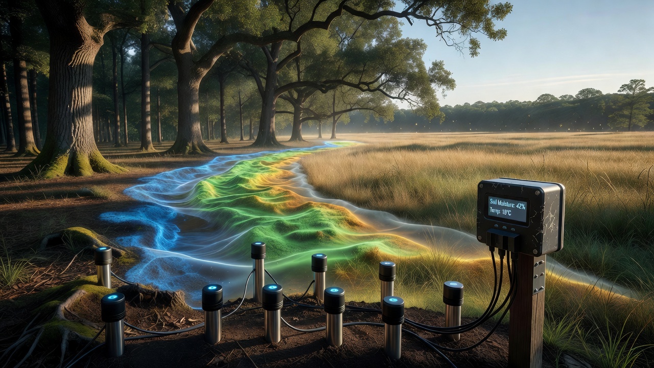
Moisture maps generated from sensor arrays illustrate that boundary soils often remain drier at the surface while retaining higher water volumes at depth during prolonged dry spells. This vertical stratification supports shallow-rooted understory species near the edge yet limits deeper-rooted trees during extended droughts. In one monitored site spanning a three-kilometer woodland margin, average moisture content at fifteen centimeters depth fell below wilting point for eleven consecutive days in late summer, whereas interior stations maintained levels above critical thresholds throughout the same interval.
Seasonal shifts appear consistently across datasets. Spring snowmelt produces brief saturation pulses that move laterally from open land into forest edges, recharging boundary soils before canopy leaf-out increases transpiration demand. By mid-summer the pattern reverses, and sensors record steeper moisture declines along boundaries. Researchers note that these dynamics influence seedling establishment, with germination rates dropping sharply in zones experiencing repeated surface drying cycles.
Regional Comparisons and Recent Deployments
Networks operating in both European and North American woodlands produce comparable edge-drying signatures, though absolute values differ with local climate and soil texture. United States Geological Survey installations in mixed hardwood stands document similar lateral gradients to those recorded by European programs. In September 2026 several expanded arrays will come online along riverine woodland margins, adding high-resolution data on how groundwater interactions modify boundary moisture during baseflow periods.
Integration with remote sensing improves spatial coverage. Satellite-derived indices of vegetation greenness and land surface temperature align closely with ground sensor readings, enabling extrapolation of moisture patterns across unsampled boundary segments. Machine-learning models trained on multi-year sensor records now predict short-term drying events with lead times of five to seven days, supporting targeted irrigation or thinning interventions where feasible.
Applications for Forest Management
Forest agencies use moisture pattern data to prioritize restoration along boundaries where desiccation stress appears most acute. Thinning operations timed to sensor alerts reduce competition for remaining soil water, while buffer plantings of drought-tolerant shrubs stabilize edges against further encroachment. Hydrological models calibrated with embedded sensor output refine predictions of streamflow response to land-use change, because boundary zones often serve as the primary interface for runoff and subsurface flow into adjacent waterways.
Long-term records also support biodiversity assessments. Species inventories correlated with moisture time series show higher turnover rates near drier edges, where only tolerant taxa persist through summer deficits. These observations help guide corridor design that maintains connectivity between moister interior habitats and more variable boundary communities.
Conclusion
Embedded sensor networks continue to deliver high-frequency, spatially explicit moisture data across woodland boundary zones, revealing repeatable patterns of edge drying and vertical stratification. Ongoing expansions planned for September 2026 will extend coverage into additional riverine and upland sites, strengthening the empirical foundation for management decisions and ecological modeling. The resulting datasets integrate with broader environmental monitoring efforts, including those coordinated through the CSIRO, to track how changing precipitation regimes alter forest hydrology at landscape scales.