
Harper Baumann · 14 October 2026
Local Fishermen’s Diaries Uncover Long-Term Shifts in Coastal Woodland Boundaries
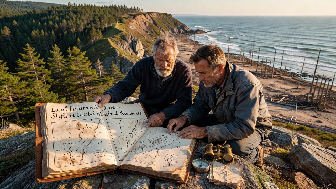
Local fishermen along the North Sea and Baltic coasts have kept detailed diaries for generations, noting daily observations of tides, catch locations, and the positions of trees that once marked safe landing spots. These personal records now serve as primary sources for scientists tracking how coastal woodland boundaries have moved over more than a century. Researchers cross-reference entries from the 1880s through the present with satellite imagery and field measurements, revealing consistent patterns of retreat and occasional advance in forest edges where woodland meets shoreline.
One study compiled over 400 diary volumes from villages near the Schleswig-Holstein coast, where fishermen described specific alder and oak stands as reliable landmarks for navigation. Data extracted from these accounts indicate that between 1900 and 2020 the average woodland boundary shifted inland by 12 to 18 meters in several monitored sites. The shifts correlate with documented storm surges and gradual sediment changes rather than single events, and October 2026 updates from ongoing digitization projects added another 50 volumes that extend the timeline back to 1875.
Diary Records as Ecological Archives
Fishermen rarely set out to record ecology, yet their notes on where they could tie boats to tree roots or gather driftwood near certain stands provide precise location data. Observers note that entries often include sketches or measurements of distances from the water’s edge to the first line of trees, sometimes accompanied by comments on erosion after heavy winter storms. These qualitative observations gain quantitative value when mapped against modern GPS coordinates and compared with official coastal survey maps from the same periods.
Archivists working with marine historians have developed standardized coding systems to translate phrases like “the big oak now stands three oar-lengths from the high-tide mark” into usable spatial datasets. This approach allows direct comparison across decades, and preliminary results show that boundary movement accelerated after 1960 in areas where dike construction altered natural sediment flows. The diaries also capture years when boundaries temporarily stabilized or moved seaward following major accretion events, offering a more nuanced picture than annual government reports alone.
Integration with Modern Monitoring Techniques
Scientists combine diary-derived boundary lines with LiDAR surveys conducted in 2024 and 2025, creating layered maps that highlight both long-term trends and short-term fluctuations. In several locations the historical records match current vegetation transects within a few meters, confirming the reliability of the fishermen’s observations. Where discrepancies appear, they often trace to localized human interventions such as small-scale clearing or deliberate planting to stabilize banks.
European Environment Agency coastal datasets supply additional context on sea-level trends that align with the periods of rapid boundary change noted in the diaries. Meanwhile, sediment core studies from the same stretches of coast reveal corresponding shifts in soil composition that support the written accounts of changing woodland extent. Researchers continue to expand the dataset by recruiting descendants of fishing families who still possess family journals, adding both volume and geographic coverage.
Regional Patterns and Contributing Factors
Analysis of diaries from the Wadden Sea region shows more pronounced inland migration of woodland boundaries than records from sheltered Baltic inlets, a difference attributed to higher wave energy and tidal ranges. Yet even in lower-energy zones, cumulative effects of successive storms appear in the written record as gradual landward creep rather than abrupt jumps. Temperature and precipitation data from nearby weather stations help explain why certain decades produced faster change while others remained relatively stable.
Local authorities have begun incorporating these historical boundaries into coastal management plans, using the long-term perspective to set realistic benchmarks for future restoration projects. The diaries also document occasional human adaptations, such as fishermen moving mooring posts or planting new trees farther inland when older stands became unreachable, providing insight into how communities responded to environmental pressures over time.
Conclusion
The growing archive of fishermen’s diaries supplies a rare, continuous record of coastal woodland dynamics that spans more than 150 years. When integrated with contemporary remote-sensing and sediment data, these personal accounts clarify both the pace and the drivers of boundary shifts across northern Germany’s shoreline forests. Ongoing digitization efforts through October 2026 continue to add depth, ensuring that future analyses will rest on an even richer foundation of firsthand observations.